In short
OS Maps is a free Android value app from Ordnance Survey Ltd. It is a great way to find routes others.
Highlights
I like the tracking function of the app
It is a good value app
Great app to have when walking for gps locations
Nice to have all my maps on my phone instead using folding maps
Briliant value access to all the OS mapping you could ever want
The ability to download maps for offline use is fantastic
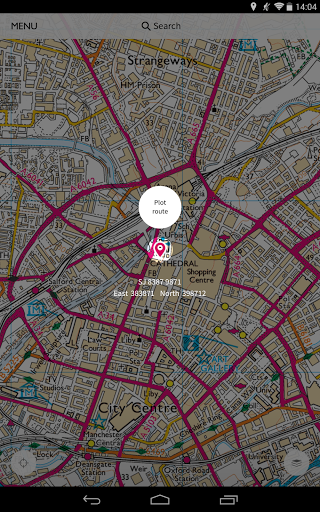
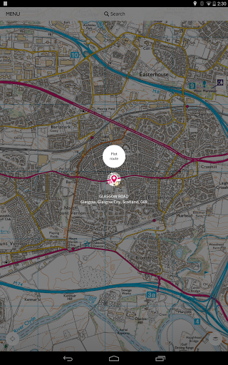
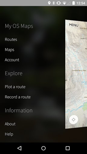
Good app to plot routes
Great to have access to explorer Maps
Love the record a walk function
Useful as it saves me carrying paper copies about
Redeemed map online but can't view on App with same login details
Quality mapping very badly let down by amateurish poor quality app
User interface not good enough
And just get a grey grid with no map content
Keeps saying unable to complete operation while offline
Viewing off line maps does not work
This subscription business if pathetic
Terrible battery usage
Premium membership was a Waste of time any money
50k and 25k maps don't display
Description
OS Maps is the new, simple-to-use but feature-rich map app you can trust from Ordnance Survey. This is the app you need for downloading a digital version of an OS Explorer or OS Landranger paper map that you’ve bought with a unique code.
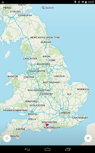
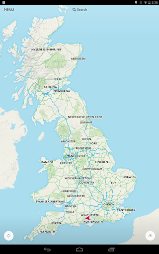
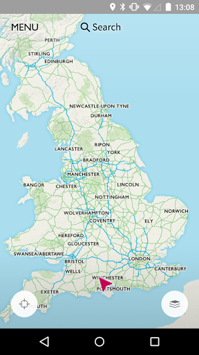
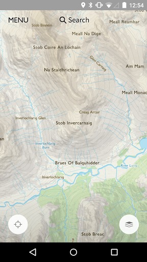
OS Maps is highly detailed mapping data, embedded in an app that’s designed to help you navigate Great Britain without restrictions.
Whether you choose to download and use the free version of OS Maps or you choose to upgrade and subscribe to enjoy the full features and mapping, we’ll give you (and your friends or family) access to everything you love about the outdoors – via your handheld device, or by logging in to your online account.
With OS Maps in your hand, we’ll guide you and let you know if you’re going off course. It’s reliable, friendly and easy-on-the-eye, so it’s an ideal map app for walkers and ramblers: runners and cyclists will benefit from future features, too.
GO FURTHER WITH OS
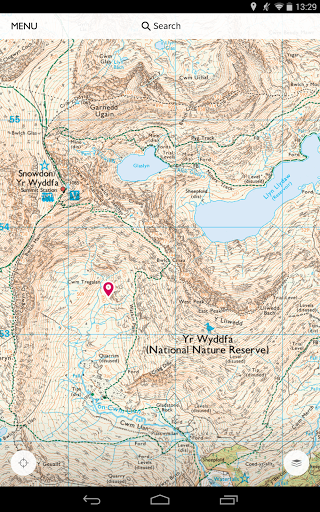
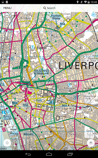
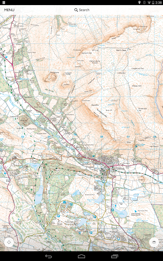
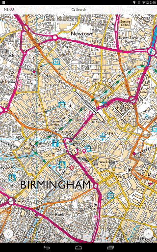
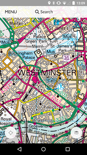
You’ll recognise all the familiar map symbols and icons you’re used to seeing on our paper maps. And we've made sure OS Map’s digital labels, screens and menus are easy to read and use, both at night as well as during the day:
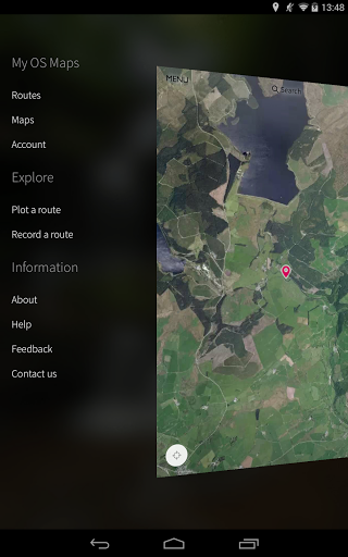
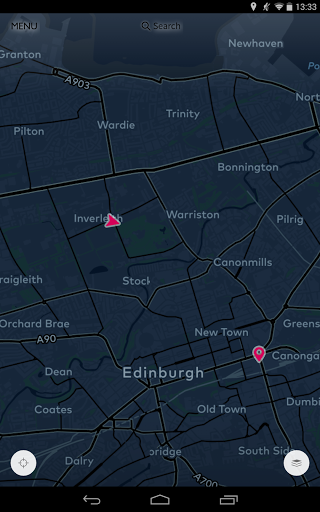
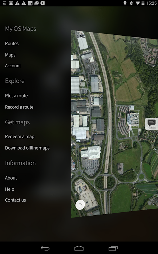
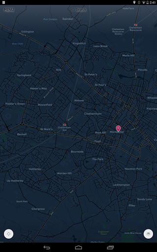
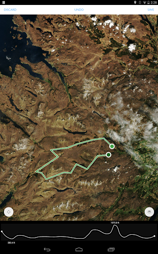
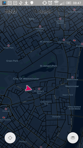
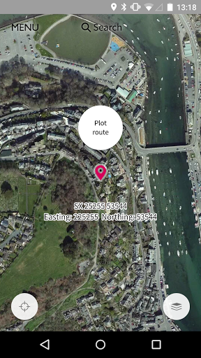
• Choose the right map – switch between standard or aerial views, check out ‘night vision’ maps too
• Switch between 1:50 000 (Landranger) and 1:25 000 (Explorer) (subscription version)
• View all your downloaded OS Explorer and OS Landranger map areas offline
• Take your mobile device out and about with you in town and country – explore the nation
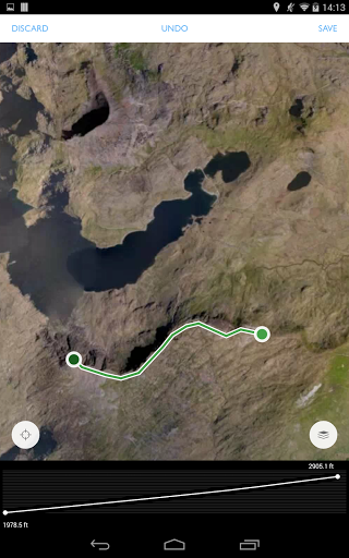
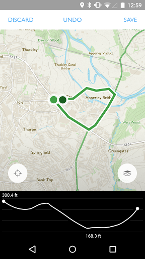
• Create new routes, see your route appear as you record it
NAVIGATE MORE EASILY
Once you’ve purchased a printed map and redeemed the unique code, you can download your map tile and save it for future reference in ‘My Maps’ on your device. That means you’ll have access to the map any and everywhere, 24/7, even if your device has no internet connection:
• Personalise, edit and name your route
• Check out the terrain before you start travelling
• Track changes in elevation as you create and plot your route
• … and as we update OS Maps, you’ll be the first to access even more features.
More
