
MyRadar Weather Radar Ad Free
Weather
$1.99
"MyRadar Ad Free is the ad-free version of the leading free radar app, ..."
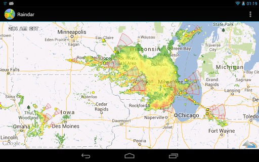
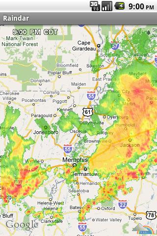
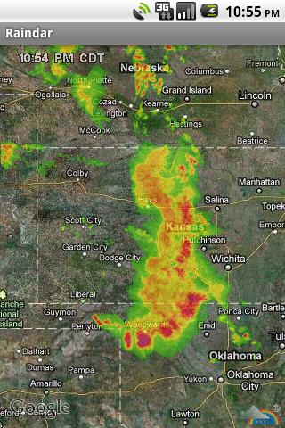
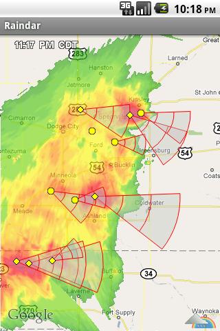
Raindar is a free rain radar app for Android created by Gerrit van Doorn. And this is a perfect way to see tornado.
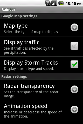
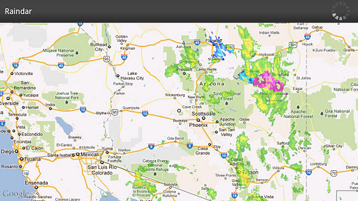
The only downside is the use of old Google Maps APIs
Fun to see the storm fronts
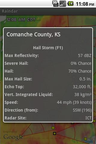
I like the storm track and ability to see tornado and hail coming
Its much faster than any weather service's weather maps
Great simple radar app with no junk bundled in
Best radar app I found
Works great s2 This is by far my favorite radar app
Works flawlessly and uses very little CPU time
And it helps me schedule work
Best reason to have app
Time stamp WAY too small
Storm tracking does not work
I think the screen resolution is messing it up
Only way to refresh the image is too move it around the screen
WTH happened to the storm tracks
The apps radar just stopped working out here in Puerto Rico
Storm tracks stopped working on my Galaxy s6
Was in thunderstorms multiple times and it showed nothing
Fix this and I will give it a higher rate
I turned it on and off multiple times with no success
MyRadar Weather Radar Ad Free
Weather
$1.99
"MyRadar Ad Free is the ad-free version of the leading free radar app, ..."

PYKL3 Radar (USA NEXRAD/TDWR)
Weather
Free
"Why settle for smoothed images of low resolution radar that claim to b..."

NOAA Hi-Def Radar
Weather
$2.99
"Simple yet powerful app that shows hi-definition real-time animated we..."
Weather & Radar Pro Ad-Free
Weather
$2.99
"Hourly weather forecasts. A UK & Ireland rainfall radar and satellite ..."

Weather Underground: Forecasts
Weather
Free
"The new Weather Underground Android app provides the world's most accu..."

1Weather:Widget Forecast Radar
Weather
Free
"1Weather meets all your weather needs in a simple, beautiful package. ..."