
Weather Underground: Forecasts
Weather
Free
"The new Weather Underground Android app provides the world's most accu..."
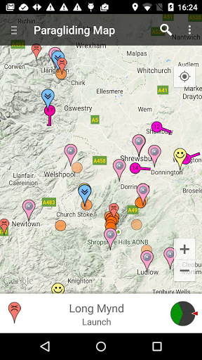
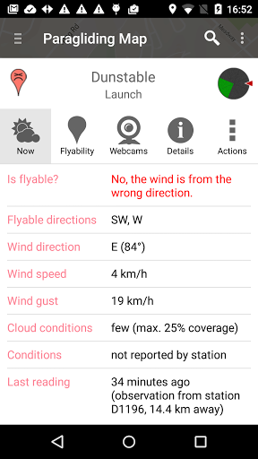
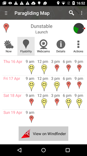
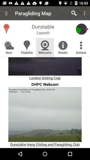
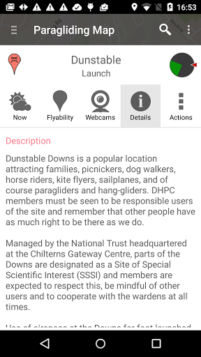
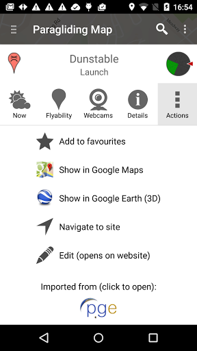
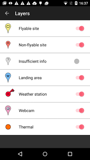
Paragliding Map is a free app for Android made by Paragliding Map. It helps to get first impression.
Well worth the pro version
It's useful for faster weather forecast on different locations
Very good app to get a first impression if it is worth to go flying
Great app and excellent support
Lots of good information from flying sites from all over the world
Quick way of checking for flyable sites
A much improved app over the older web based version
App will not refresh to show current forecast
There was not much development and many bugs persisted for ages
Great idea but not accurate at all

Weather Underground: Forecasts
Weather
Free
"The new Weather Underground Android app provides the world's most accu..."

Weather Timeline - Forecast
Weather
$1.49
"Weather Timeline is a simple weather app that focuses on summarising t..."

Weather Kitty
Weather
Free
"Smile every time you check the weather! Unless you're using the Grumpy..."

Weather Whiskers App & Widget
Weather
Free
"There is one thing that can make a thunderstorm feel like a sunny day:..."

Weather & Clock Widget Ad Free
Weather
$2.99
"Weather & Clock Widget for Android, provides detailed current weather ..."

Weather Puppy
Weather
Free
"Smile every time you check the weather! The puppy changes based on the..."