
Land Nav Assistant
Travel & Local
$1.99
"Land Nav Assistant accepts MGRS (Military Grid) or Latitude / Longitud..."
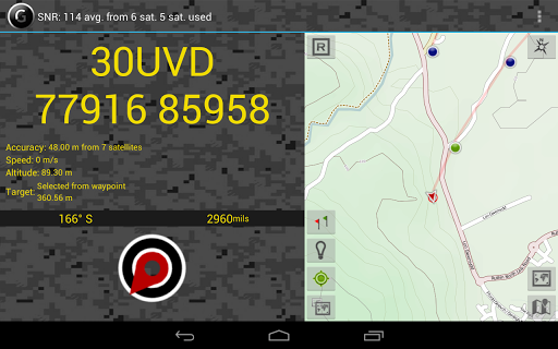
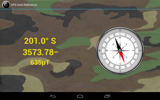
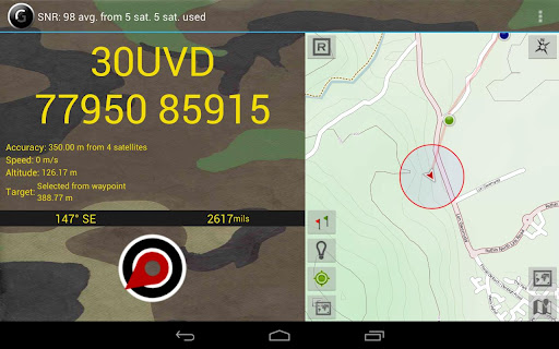
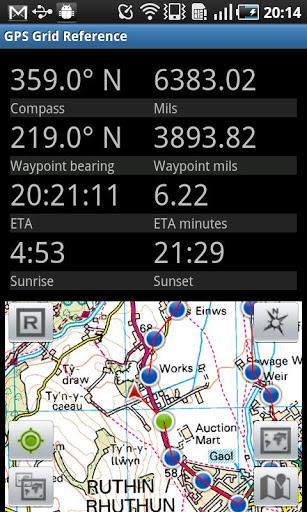
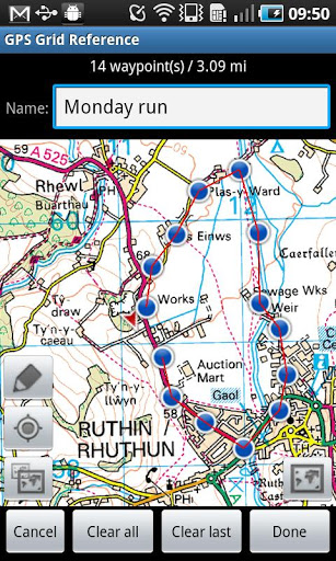
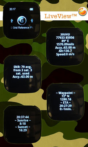
GPS Grid Reference - Full is an app for Android created by Luck.
Best app I've found to support operations requiring MGRS grids
I needed an app for military land nav and this was perfect
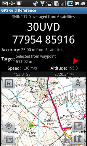
GPS Grid Reference is extremely accurate
Excellent used many times on bodmin moor Dartmoor and Exmoor
Great for OS grid data and the compass is pretty good too
This is such an awesome app
Valuable tool which I credit for some success
This application is perfect for military or emergency personnel
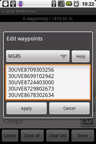
You can't plot locations without them being way points
User manual is a joke
After sales service is non existent
Compass not working it says failed to set Compass please ad I e
Constantly 7 grid squares off my actual loc
TOTAL waste of money
This app has very limited functionality and a cumbersome interface
Land Nav Assistant
Travel & Local
$1.99
"Land Nav Assistant accepts MGRS (Military Grid) or Latitude / Longitud..."

GPS Grid Reference - Full
Travel & Local
$7.99
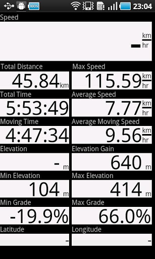
"Great app for outdoor sports, running, hiking, site survey, search & r..."
Geo Tracker - GPS tracker
Travel & Local
Free
"You can find answers to most common questions in the FAQ section of my..."

AlpineQuest GPS Hiking
Travel & Local
$9.99
"AlpineQuest is the complete solution for all outdoor activities and sp..."
City Distance Full
Travel & Local
$2.74
"City Distance gives you the possbility to get the distance (Driving / ..."

GPS Status PRO - (legacy key)
Travel & Local
$3.49
"NOTE: The main (free) app now supports in-app payments to purchase a P..."