

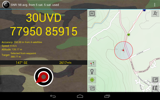
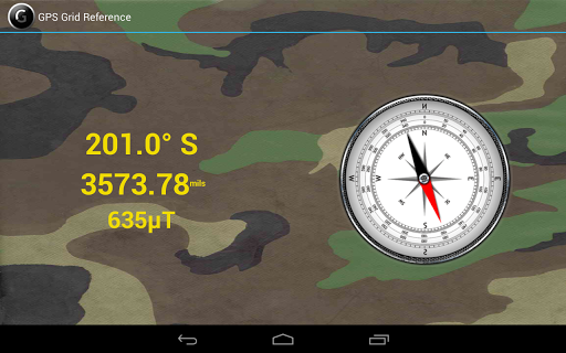
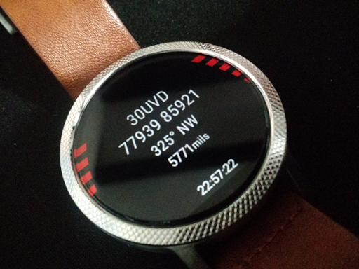
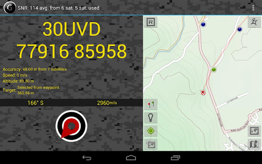
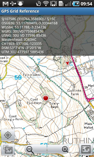
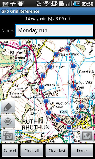
GPS Grid Reference - Full
Travel & Local
$7.99
"Great app for outdoor sports, running, hiking, site survey, search & r..."
GPS Grid Reference - Full is a mgrs app for Android created by Luck.


This works well for military as long as there is phone signal
Best mgrs app on every market
Good friendly developer and clean neat interface
Absolutely awesome app no complaints
Very fast turnaround
No dms option shown on menu altho purchased ststes not licensed
Poor and slightly muddled interface
GPS Grid Reference - Full
Travel & Local
$7.99
"Great app for outdoor sports, running, hiking, site survey, search & r..."

AlpineQuest GPS Hiking
Travel & Local
$9.99
"AlpineQuest is the complete solution for all outdoor activities and sp..."
Geo Tracker - GPS tracker
Travel & Local
Free
"You can find answers to most common questions in the FAQ section of my..."
City Distance Full
Travel & Local
$2.74
"City Distance gives you the possbility to get the distance (Driving / ..."

GPS Status PRO - (legacy key)
Travel & Local
$3.49
"NOTE: The main (free) app now supports in-app payments to purchase a P..."

GPS Status & Toolbox
Travel & Local
Free
"Have you ever waited minutes to get a GPS lock? Do you often forget wh..."